
GIS Maps Online
Texas County GIS Data offers GIS maps online for a low monthly subscription rate. If you already have the shapefiles and gis layers you want just give us a call and we will publish your map online!
GIS Maps Online
Solutions range from BIS hosting your data, building and hosting the map services. We also offer front end web map application like Hunt CAD’s Interactive GIS Map or we can design and implement a system for you in house. With both of these solutions we can also integrate ArcGIS Online. While Texas County GIS Data GIS maps online does have some standard core offerings, some customization is available and we strive to ensure your satisfaction. Texas County GIS Data will ensure that your business needs align with system functionality. Give us a call if you would like to explore the possibility of having a robust web GIS mapping application for your organization. We strive to deliver the best GIS services online because we take pride in putting our name on your map.
Mobile / Tablet Map
Standard GIS interactive web maps can be configured and optimized for both mobile phone or tablet. A sample can be found by using your phone or tablet and clicking here.
ArcGIS Online has evolved and continues to improve because of the demand for GIS maps online. This offering from ESRI is quite robust and the applications built in this environment run seamlessly in the mobile environment. Texas County GIS Data is in a position to offer and/or support named user subscriptions to ArcGIS Online for Organizations. If you think this may be an option, please let us know and we can discuss it. As part of our standard pre-paid GIS Support package we will do AGO set up, configuration and management too!
Below is an example of our clients GIS maps online:
Hunt County Online Parcel Map
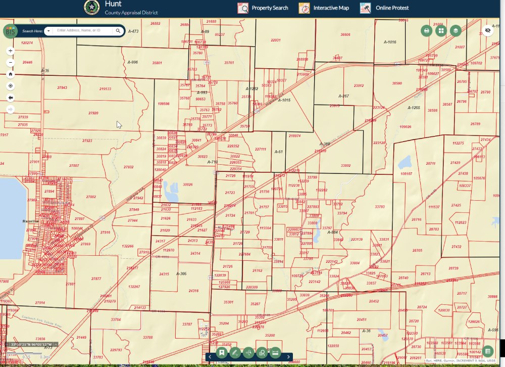
This is a gis online interactive map.
Placing your ESRI GIS Maps online allows organizations to visualize their information spatially across the world. Everyone in the organization can view and interact with these maps via a browser, smartphone, tablet, or other mobile device.