
Texas County GIS Mapbooks and Printed Maps
Discover a diverse selection of Texas County GIS mapbooks and printed maps at Texas County GIS Data. Our offerings range from digital PDF prints to large standard format wall maps, catering to various needs. Responding to the demand for detailed maps covering extensive areas, we now provide presentation-quality map books and strip maps. Our dedicated team of GIS professionals ensures top-notch design and precision in every product. Simply provide us with your map specifications, and we’ll generate a convenient download link or arrange for printed copies to be delivered to you.
Our map books and strip maps are meticulously crafted using ESRI’s Data Driven Pages toolset, integrated into ArcGIS Desktop 10.x. Leveraging our expertise in creating these products, we guarantee swift processing of your order and deliver aesthetically pleasing, custom-tailored solutions. These intelligently designed map products capitalize on the latest updates available for Data Driven Pages in ArcGIS 10.2.2, featuring a professional title page, a comprehensive table of contents, a key map illustrating the entire study area, a locator map on each page for reference, and a scale bar set in miles. Designed to offer unparalleled detail and zoom capabilities across various land sizes and geographic features, our map books and strip maps cater to a wide range of applications, including subdivisions for homeowner associations, property parcels for realtors, agricultural lands for farmers, and more.
GIS Water Route Map developed for Eagle Pass, Texas located in Maverick County.
View GIS Printed EP Water Route Map – PDF Version
GIS Wind Turbine Location GIS Map developed for Comanche County Texas
View GIS Printed Map – PDF Version
GIS City Map of Cotulla, Texas – Lasalle County
View GIS Printed Map – PDF Version
Screenshots of other Texas County GIS Map Books and Printed Maps developed by our GIS Team:
City GIS Map

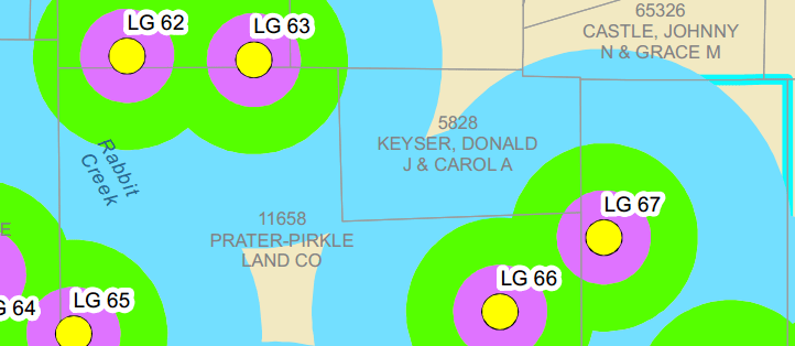
Parcel GIS Map

This GIS printed map is of parcels located in a county
Wind Turbine Location GIS Map
This GIS printed map is of wind turbine locations
Water Route GIS Map

This GIS printed map is of a water route in Eagle Pass, Texas
GIS is a way to visually represent data on a map or aerial photo. Really, what makes GIS so dynamic is the fact that it can serve a wide range of industries and disciplines including:
- Archeology
- Geography
- Cartography
- Land Surveying
- Oil and Gas Exploration and Production
- Public Utility Management
- Urban Planning
- Landscape Architecture