Real Estate GIS
Learn how our Real Estate GIS can power your company.
Real Estate gis

Real Estate GIS Services
Precise and accurate location intelligence is crucial for real estate professionals to gain a competitive edge in their markets. With TCGD, real estate teams can effortlessly integrate location-specific data, top-notch mapping, and advanced visualization technology. This empowers them to offer clients up-to-date insights on real estate markets and investment opportunities, both now and in the future.
Real Estate GIS Data
TCGD offers a comprehensive location intelligence solution tailored for commercial real estate professionals. By leveraging the tools provided, real estate companies and investors can effectively research markets, uncover new growth opportunities, and manage their investments at both the market and neighborhood levels.
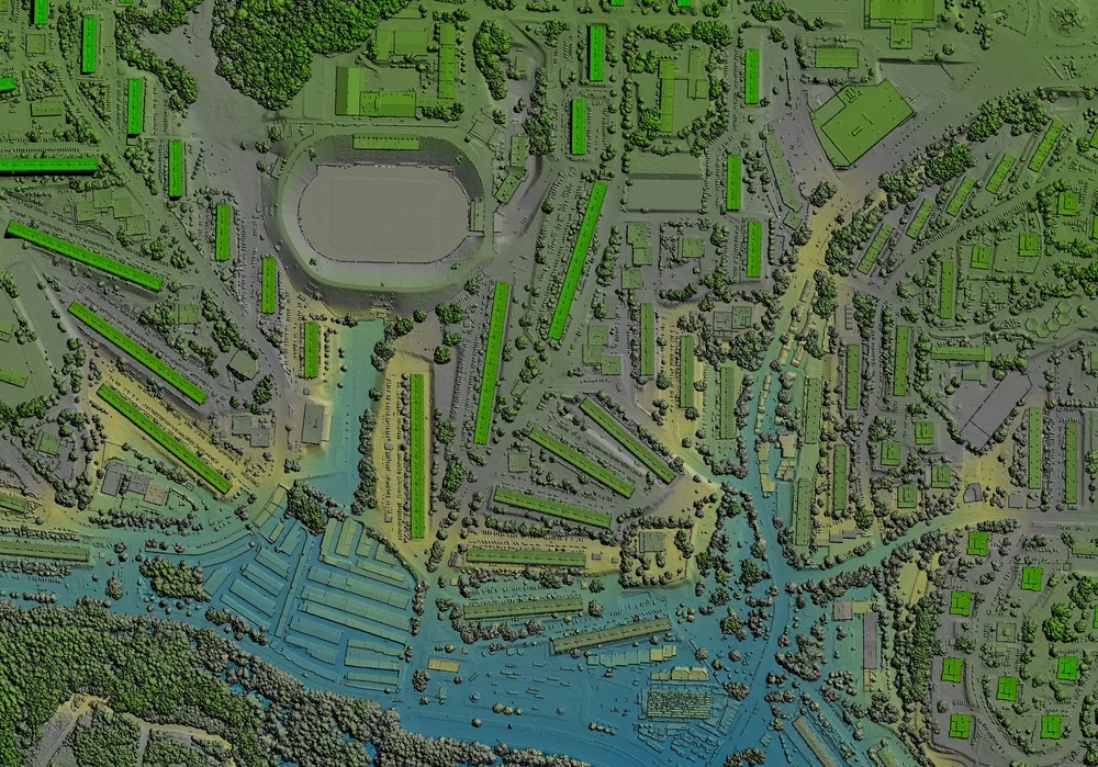
TCGD empowers users to create compelling digital and printed marketing materials, including immersive 3D renderings and virtual walk-throughs, enabling seamless property promotion across various platforms. Moreover, real estate professionals can leverage mobile data collection tools to gather property information directly from the field, analyze insights, and instantly share them across their organizations.
With TCGD, commercial real estate professionals can elevate their decision-making process, streamline operations, and stay at the forefront of the industry.


How GIS Can Help
Residential Real Estate: Gain a comprehensive understanding of the dynamics within local neighborhoods across all your business markets. From developers to brokers and agents, accurate and precise local intelligence is the key to winning in business.
Office And Industrial Real Estate: Enhance the strength of your enterprise network by strategically situating your facilities and offices in prime locations, thereby maximizing your real estate investment. With TCGD, you can swiftly discover the most optimal locations, ensuring efficiency and success.
Retail Real Estate: Retailers seek precise insights on potential locations to make informed real estate decisions. TCGD equips brokers with the necessary data to effectively advise their clients.
Community Development: Discover the profound influence of development projects on local communities. Enhance transparency in the planning and proposal stages, shedding light on critical aspects like environmental impact and displacement.
Real Estate GIS Frequently Asked Questions
GIS enables realtors to automatically organize information by location and store all network data in a single platform – one that doesn’t require boxes of documents or burning DVDs.
GIS stands for geographic information system (GIS), which is a technological tool that’s used for comprehending geography and making intelligent real-time decisions. The real estate industry relies on GIS technology to better meet the needs of customers. GIS provides agents with an efficient, integrated platform for data management, planning and analysis, workforce automation, and situational awareness.
Our Real Estate Cooperative GIS software tracks a wide range of utility and electric GIS data points, that includes Ownership, Parcel Boundaries, Lot Lines, Abstracts, Subdivisions, School Districts, Streets, Blocks/Sections, and City Limits.
