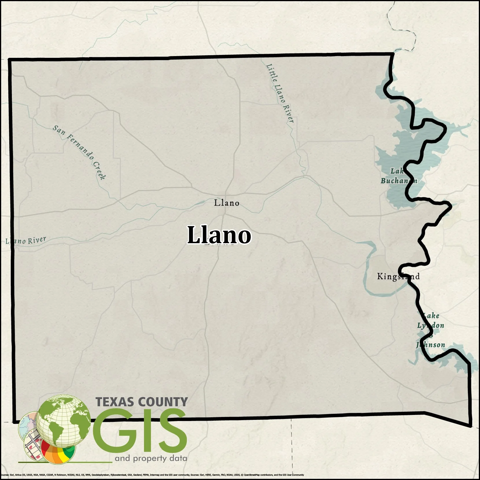
Llano County KMZ and Property Data
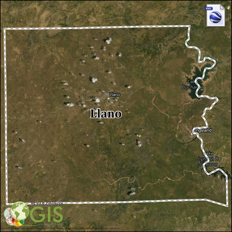
Llano County Texas KMZ and Property Data
Llano County KMZ and Property data is available for direct download.

Llano County KMZ and Property data is available for direct download.
Llano County, TX GIS Shapefile and Property Data can be used within mapping applications to view nightly updated ownership, property values, address information, and other related property information.
We provide quality GIS datasets to a multitude of different industries including: State and Local Governments, Oil & Gas, Renewable Energy Services, Real Estate, Marketing, Healthcare, Right-of-Way, and other Public and Private Sector Corporations.
Ownership information includes the following fields:
– Prop ID (ex:52728)
– Owner Tax Year (ex: 2021)
– File as Name (ex: Owner Name)
– Legal Acreage (ex: 1.5ac)
– School (ex: Slocum ISD)
– City (ex: Palestine)
– County (ex: Anderson)
– Legal Description (ex: A0695, BLOCK 1615 TRACT 1, 2, 3A & 3G2)
– Tract or Lot (ex: 10)
– Abstract Sub Code (ex:S1405BC)
– Land Value (ex: 153009)
– Improvement Value (ex: 49843)
– Market Value (ex: 359705)
– Block (ex: 002)
– Map ID (ex: R10001)
– Geo ID (ex: R0010001)
– Situs Number: (ex: 1897)
– Situs Street Prefix (ex: N/E/S/W)
– Situs Street (ex: US Highway 287)
– Situs Street Sufix (ex: DR/BLVD/LN/CIR/ETC..)
– Situs City (ex: Palestine)
– Situs State (ex: TX)
– Mailing Address (ex: 1234 CORNER BROOK LN)
– Mailing Address City (ex: Houston)
– Mailing Address State (ex: TX)
– Mailing Address Zip (ex: 76123)
– Deed Sequence (ex: 37)
– Deed Date (ex: 08/20/1987)
– Deed Volume (ex: 1628)
– Deed Page (ex: 153)